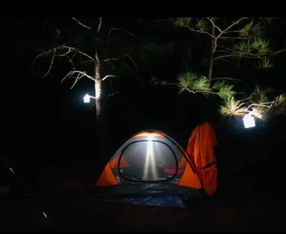
阿诺德(Arnold) · 整套出租单元 · 1室1床1.0卫 · 可住1人 · Furnished studio in Arnold, California
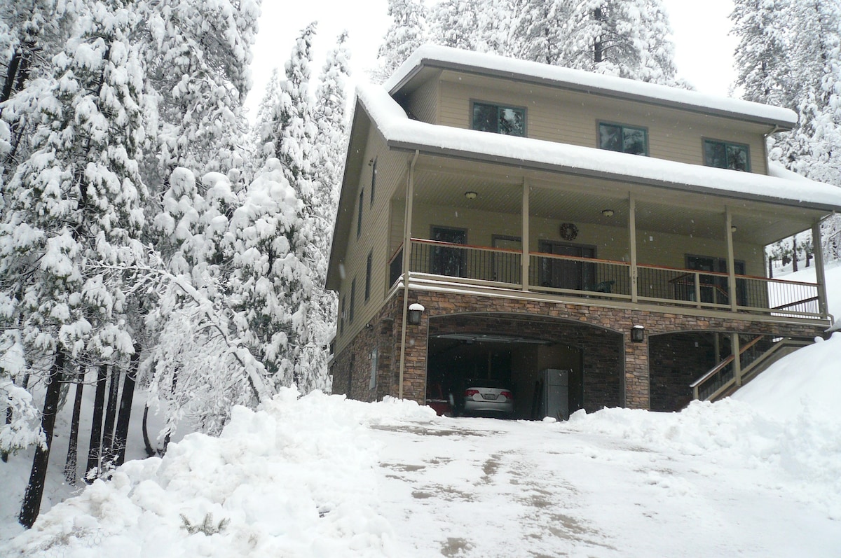

阿诺德(Arnold)整套出租单元1室1床1.0卫可住1人 · FurnishedstudioinArnoldCalifornia

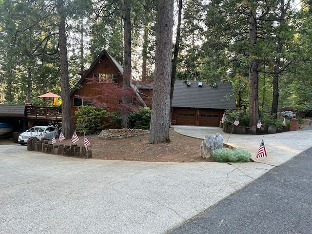
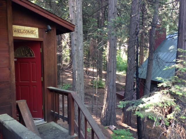
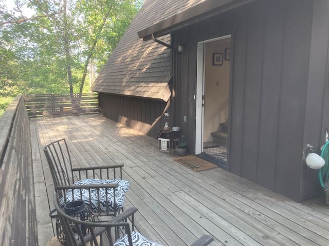
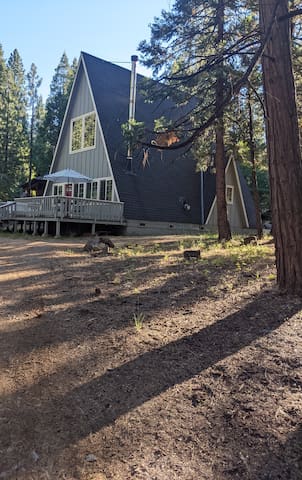
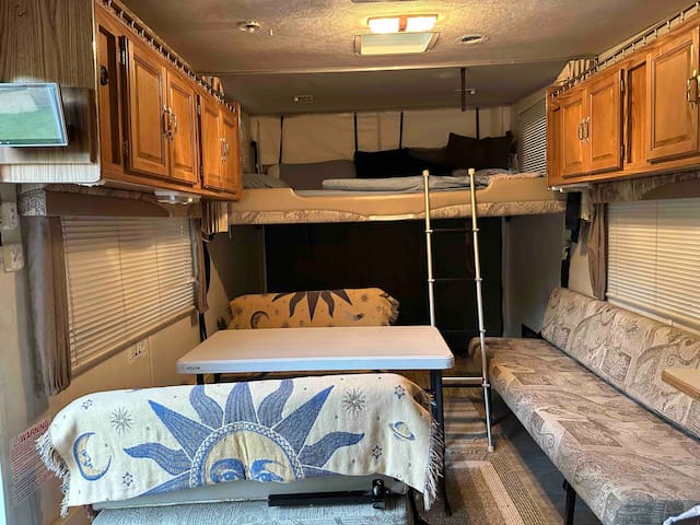
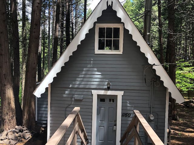
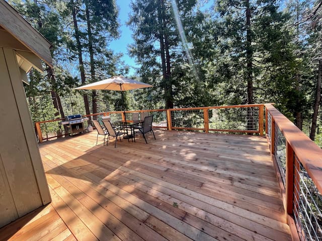
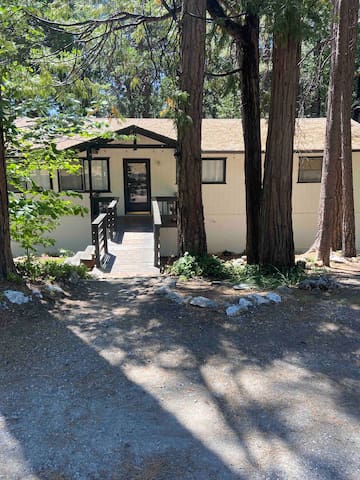
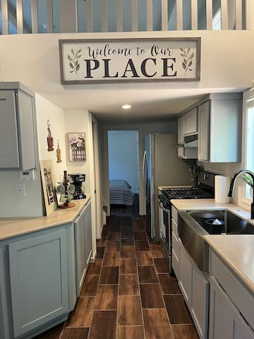
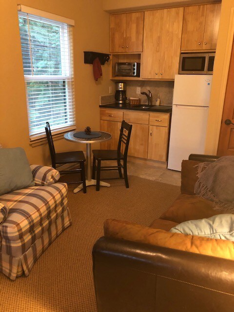
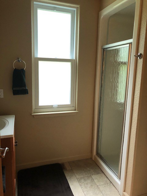
Located in Pinebrook in Arnold, California. This is a Furnished studio attached to the main cabin. Private entry. Downstairs kitchenette and small living space. Upstairs bedroom and bathroom with shower. Parking on driveway. Ideal for a single person. 1 month minimum stay
房客评价

The place is great, and is accurately described in the listing. Heidi is very responsive. Two examples: (1) the cooking pot did not work with the induction cooktop, and I informed Heidi of this fact, and she arranged for someone to drop off a compatible stainless steel pot in under 24 hours. (2) The internet was intermittent and after I informed her of this, she had the ISP come and they fixed it, and after that the internet connection was rock solid. This place is perfect for a quiet retreat in the Sierra foothills/mid-elevation Sierra. Ebbetts pass (Carson-Iceberg Wilderness Area & Mokelumne Wilderness Area) is just over an hour's drive. I can very-highly recommend this listing if the location is what you are looking for, and if you don't need a huge space.

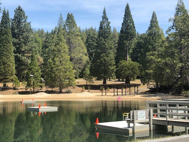
This is a great spot if you enjoy the outdoors. Easy access to Yosemite and the Sierra high country. I worked remote here for a month. The WiFi is pretty spotty and would go down 6 or 7 times during the work day (just for 5/10 min). Heidi is great host and will quickly fix any prolonged WiFi issues you have.

Heidi's place in Arnold is a 2-level apartment above the garage with its own entry. It is completely separate from the larger part of the house (aside from common walls). It is new and very clean. The living room with kitchenette is downstairs. Upstairs find the bedroom and bathroom with a small but clean and new shower. Like most houses in this area, Heidi's is very secluded; one can barely see the neighbors. So you find peace and quiet here. The area is hilly with lots of trees. I enjoyed my stay very much.
房源位置
PINEBROOK EVACUATION EXIT MAPS
Latest Update: 03/27/2018
INTRODUCTION
The purpose of this document is to provide Pinebrook Property Owners and their Renters and Guests with enough information to find disaster evacuation routes from their street and with input from the Calaveras County Office of Emergency Services (OES) make decisions and take appropriate actions. There are a lot of route options out of Pinebrook but there are really only two practical directions to get out of the Arnold area and that is UP or DOWN Highway 4. The goal of these maps is to get you to Highway 4, heading in the best direction for a safe and timely
evacuation. These Maps assume the Murphys Bridge at Moran Creek is fixed, until then there is (1) less exit.
OVERVIEW
1. There are about (10) exits from Pinebrook streets and you should take the one most efficient based on your address and the kinds of vehicles you are taking with you, and which exits are available (depending on the location of the disaster). (6) of these exits take you to Moran Road, (2) go through Meadowmont to HY4 and (2) are under development dirt roads would take you to Love Creek Road which then dumps you onto Moran Road. Note: (3) exits take you directly from streets in Pinebrook to Moran Road. All the others take you through other subdivisions.
2. The direction you take on Moran road will depend on where the disaster is. Many major fires have come through below Avery so you may be asked to exit to Bear Valley, going up Moran Road and then up HY4.
3. Lightning Lane and Calaveritas Road directly off of Moran Road in Pinebrook allow you to go over the
top to HY4 coming out above the Big Trees Shopping Center. These routes are shown on the provided maps.
Otherwise use Moran Road in Avery or above Blue Lake Springs to get onto HY4.
4. HY4 is another bottleneck and the only other option besides going down to the Murphys area where there are
more roads going South (Parrots Ferry Road, Red Hill Road) or Northwest on Murphys Grade Road, is to take
Sheep Ranch Road in Avery across from the Moran Road intersection and go to Murphys or San Andreas. The
majority of the fires in the past have been in that area (Sheep Ranch Road).
5. Your next bottleneck will be at HY49 going North and South, but there are several options of other roads
to use once you get that far.
WHAT ELSE TO DO
1. Join your community “Nextdoor ” as OES will communicate information and maybe specific directions via email directly to you. Other users will also “blog” in on Nextdoor to offer advice.
2. Join CODE RED which will send you emails & call or text you on all the phone numbers you provide to them.
3. If all power and cell towers are down, go to your car on a TBD AM station which is intended to broadcast status and directions. When the station number is established you will be notified.
4. Print a copy of the maps in this document and make sure a set is in your cabin/house and your renters and guests know where they are. Eventually we hope all the Evacuation Exits are marked and you just follow the signs, but
It is highly doubtful that the county will ever mark all the options presented in these maps. Just the main road
directions are likely, so you and especially guests and weekend renters will need these maps.
OVERVIEW MAP OF ARNOLD SUBDIVISIONS & MAJOR ROADS
房东
爱彼迎旅行保障

安心房源保障 人工审核所有中国房源信息,入住更安心

专业中文客服 通过客服电话、线上客服、智能客服助手等渠道,为您提供全方位服务

旅行安全保障 多重风险控制设计,全方位保障您的行程安全